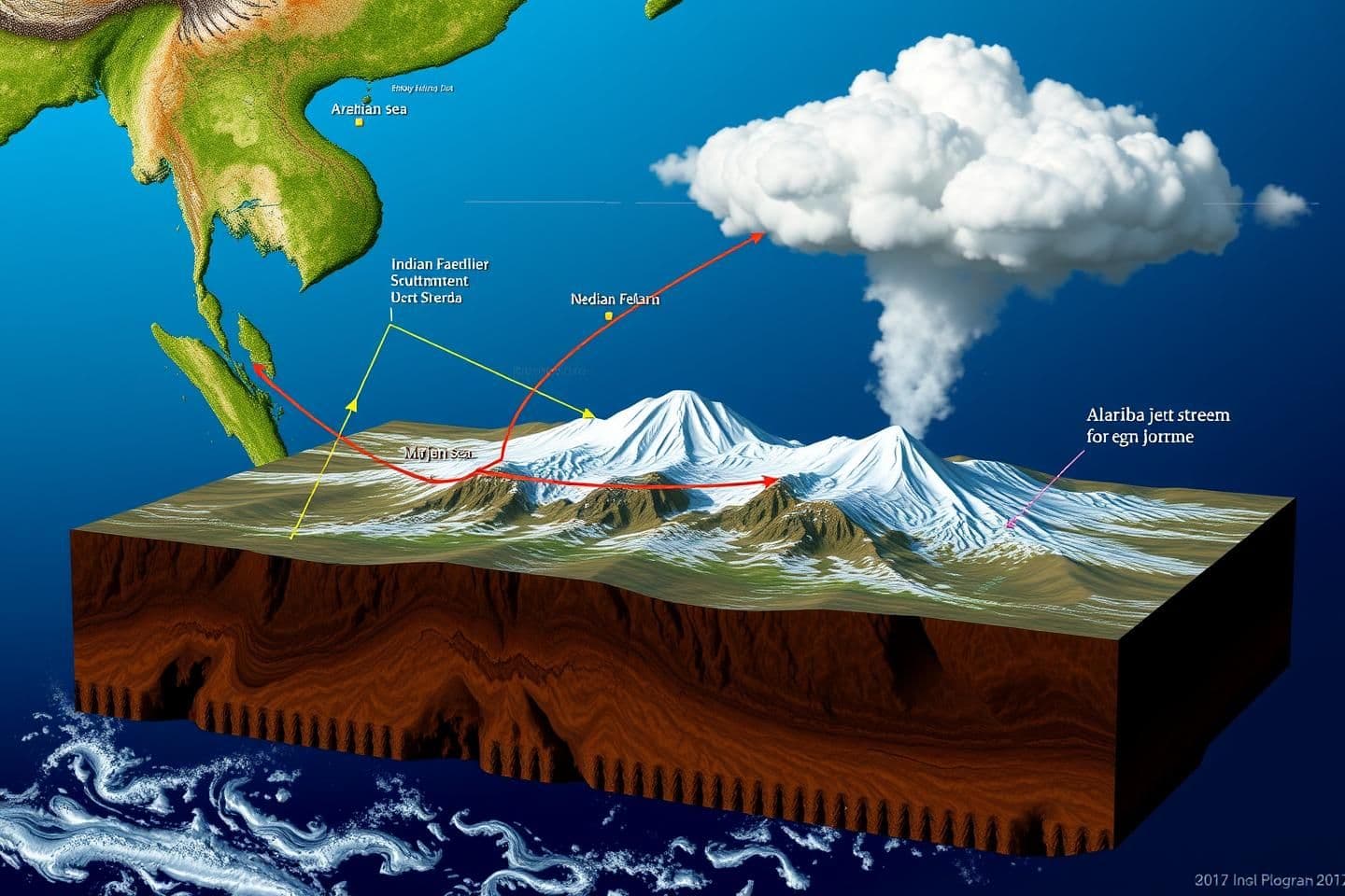
Create an accurate image in form of a diagram for a geography project showing indian southwest monsoon coming from the Arabian sea colliding with indian southeast monsoon coming from the Bay of Bengal and the western jet stream. The resulting orographic cloud formation is going higher than 6km and thus, the monsoon clouds are crossing over the 6km high Himalayas from Indian subcontinent into Tibet. Please make this image 3D and the directions of these mentioned winds, clouds, Himalayas, Tibet etc. should be correct.